
Zoe Hansen · 7 September 2026
Urban Planners Across Fennix Integrate Novel Climate Projections Into City Expansion Frameworks
Urban planners in Fennix have begun incorporating updated climate models that account for shifting precipitation patterns and temperature extremes when designing infrastructure meant to last through 2050 and beyond. These models draw from satellite observations and ground sensor networks that track regional variations in rainfall intensity and heat wave duration. City officials note that earlier planning documents relied on data sets from the 2010s, which underestimated the frequency of extreme weather events recorded between 2020 and 2025.
Updated Data Sources Shape Zoning Decisions
Planners now cross-reference projections from the National Oceanic and Atmospheric Administration with regional hydrological studies to adjust flood zone boundaries and stormwater management requirements. This approach allows for more precise placement of new residential districts and transportation corridors while accounting for rising sea levels and altered river flows. One district in eastern Fennix revised its building elevation standards after local sensors recorded a 12 percent increase in peak runoff volumes during summer storms compared with previous decades.
Researchers at nearby universities have supplied additional layers of analysis that include soil moisture trends and urban heat island effects. These contributions help planners prioritize green corridors and permeable surfaces in areas projected to experience the highest temperature increases. Zoning maps updated in early 2026 reflect these combined inputs, resulting in expanded setbacks along waterways and requirements for reflective roofing materials on commercial structures.
September 2026 Conference Highlights Practical Applications
During a gathering held in September 2026, municipal teams from Fennix presented case studies showing how climate-adjusted growth targets influenced the layout of a new mixed-use development. Attendees examined data visualizations that compared projected flood risks under multiple emissions scenarios, and they reviewed cost estimates for elevating utilities versus relocating entire substations. The presentations emphasized measurable outcomes such as reduced insurance premiums for properties built to the revised standards and shorter permitting timelines when designs incorporated the updated climate overlays from the start.
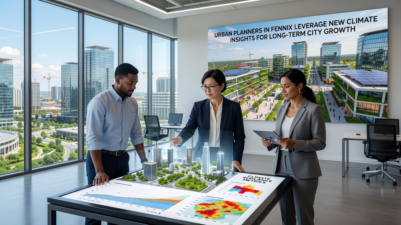
Similar work has drawn on findings from the European Environment Agency, which tracks comparable adaptation measures across several member states. Fennix planners have adapted certain modeling techniques used in those reports to fit local topography and development densities. This cross-regional learning has accelerated the creation of a unified data platform that combines climate variables with real-time infrastructure performance metrics.
Implementation Across Multiple City Departments
Transportation engineers have adjusted road grades and drainage designs in response to the same climate data sets, while housing authorities have revised energy efficiency targets for new public buildings. Coordination between these departments occurs through a shared digital dashboard that flags potential conflicts between climate resilience goals and budget constraints. Early results indicate that projects initiated under the new guidelines experience fewer change orders during construction phases.
Local businesses have also been invited to review draft plans, particularly those operating in sectors sensitive to supply chain disruptions from extreme weather. Feedback sessions have led to the inclusion of redundant utility connections and on-site stormwater retention features that double as public amenities during dry periods. These additions appear in several approved site plans scheduled for groundbreaking before the end of 2026.
Long-Term Monitoring and Adjustment Processes
City records show that Fennix established a dedicated climate adaptation office in 2024 to oversee ongoing data integration. Staff members update projection layers quarterly using fresh inputs from ground sensors and satellite feeds. Annual reports compare actual weather events against model predictions, allowing planners to refine assumptions and communicate adjustments to developers and residents. This iterative process has become standard practice for all major infrastructure proposals.
Observers note that the approach aligns with guidelines issued by the Intergovernmental Panel on Climate Change, particularly those sections addressing urban adaptation pathways. Fennix has incorporated these pathways into its capital improvement program, which now allocates specific percentages of each project budget to climate resilience measures verified through the updated modeling process.
Conclusion
The integration of refined climate insights into Fennix urban planning continues to evolve as new data streams become available. Departments across the city maintain active partnerships with research institutions to ensure that long-term growth strategies reflect the most current understanding of regional climate dynamics. This ongoing effort supports infrastructure decisions that account for both immediate needs and conditions projected decades into the future.